This is a unique opportunity to share their stories whilst developing a Te Reo Māori teaching and learning resource that supports the importance of using local environments as places of learning about the history of Aotearoa New Zealand in our schools and kura.
An interactive indigenous map app was selected as an innovative mode of transmission for local pūrākau. Using GIS mapping technology, high resolution photographs and drone footage provides a ‘virtual walking journey experience’ identifying geographical locations alongside culturally rich pūrākau to highlight the importance of local history. Documenting the story and local knowledge provides an important resource to share, draw on, and apply learnings from so that the significance of these places is retained for future generations of whānau, hapū and iwi. Local areas of cultural significance provide places of learning across the education curriculum – te reo, hitori, taiao.
The stories demonstrate the strength and resilience of our tūpuna that provide guidance for today. Knowing place names and the stories behind them creates understanding and ensures the historical and cultural retention of these wāhi whakahirahira.

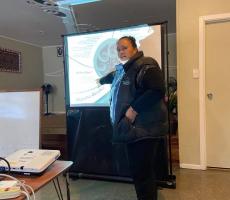
Te Aho Tū Roa Kaiwhakapumau marae facilitation during the project.
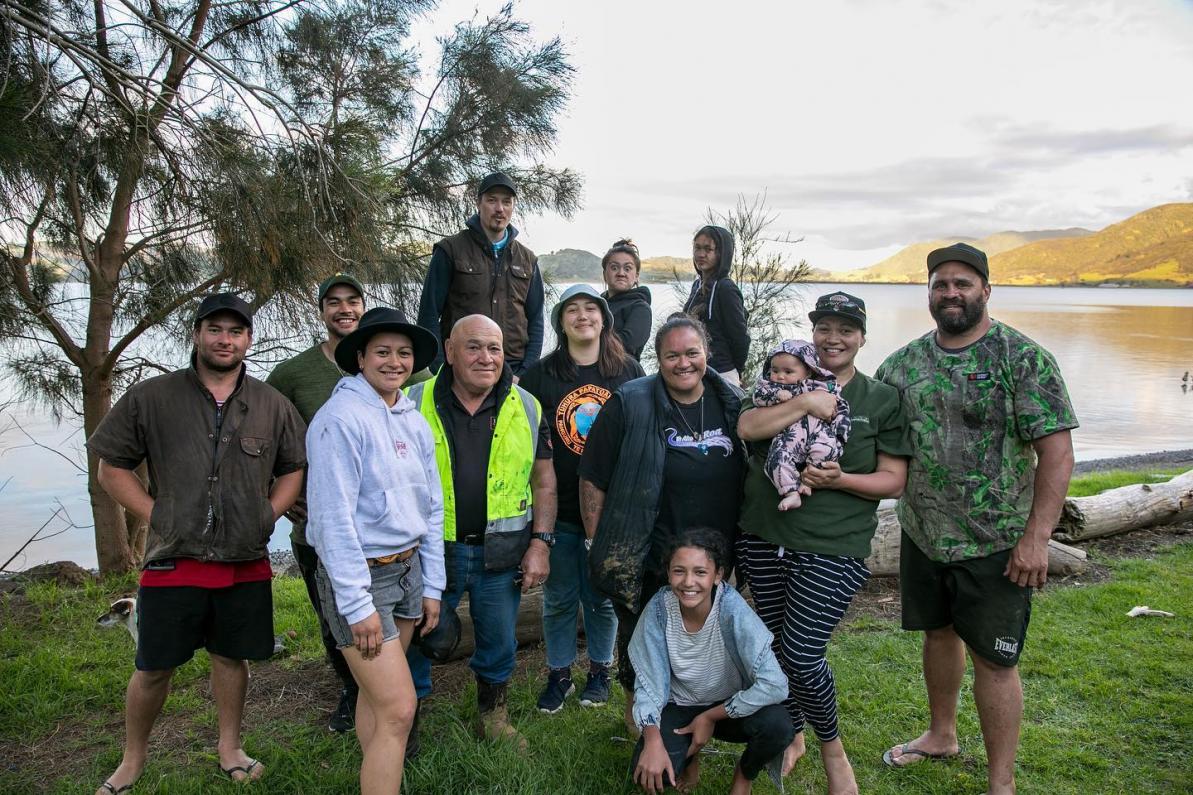
This was a collaborative project. Te Aho Tū Roa provided key lead support with hui facilitation, planning and connecting key local skilled experts, kaumatua, kuia and whanau throughout the development of this project, while the Ministry of Education’s Te Aho Ngāhuru Funding created the opportunity to bring to life these iwi/ hapū aspirations.
“As a remote community it is important for rangatahi and their whānau to have the opportunity to re-engage with Whangape from their own mātauranga Māori platform, and the development of this resource will achieve this for an iwi that is passionate but often physically distant.”


